Home > Europe > United Kingdom > England > London > Boroughs > Lewisham
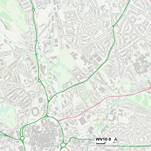
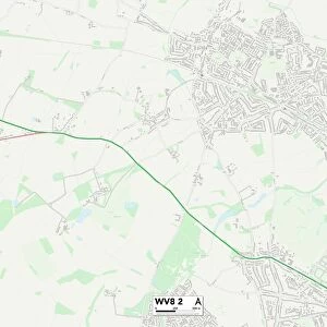
Wolverhampton WV10 6 Map

![]()
Wall Art and Photo Gifts from Map Marketing
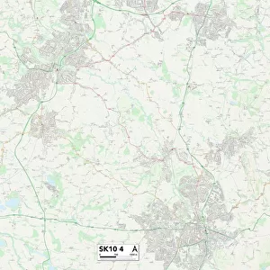
Wolverhampton WV10 6 Map
Postcode Sector Map of Wolverhampton WV10 6
Media ID 19983356
Aintree Road Arundel Road Ashfield Grove Ashfield Road Barrington Close Beech Close Beech Road Burnham Avenue Chepstow Road Church Road Churchfield Road Cottage Lane Croft Gardens Douglas Place Filey Road Fontwell Road Green Drive Greenwood Road Hampton Road Harrowby Road Henley Road Jones Road Kipling Road Lewisham Road Lingfield Avenue Lodge Road Logan Close Manor Road Marsh Lane Mill Green Minehead Road Moorland Avenue Newbury Road Oriel Drive Redcar Road Romsey Road Sandon Road Sheldon Road Shelley Road Slade Road South Street Southbourne Road Springfield Lane St Annes Road Stafford Road Taunton Avenue The Downs Vine Close Watermill Close Watson Road Wetherby Close Winchester Road Wolverhampton Oxley
FEATURES IN THESE COLLECTIONS
> Abstract Art
> Rainbows
> Europe
> United Kingdom
> England
> London
> Boroughs
> Lewisham
> Europe
> United Kingdom
> Wales
> Monmouthshire
> Chepstow
> Map Marketing
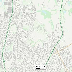
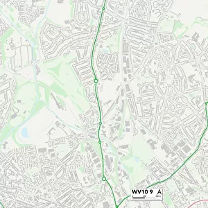
> Postcode Sector Maps
> WV - Wolverhampton
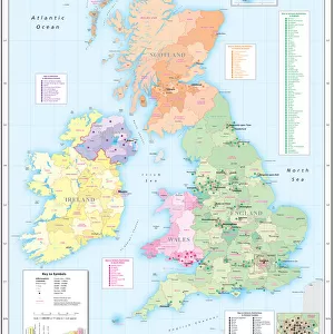
> Maps and Charts
> Related Images
> North America
> United States of America
> Ohio
> Akron
> Sport
> Cricket
> Related Images
MADE IN THE USA
Safe Shipping with 30 Day Money Back Guarantee
FREE PERSONALISATION*
We are proud to offer a range of customisation features including Personalised Captions, Color Filters and Picture Zoom Tools
SECURE PAYMENTS
We happily accept a wide range of payment options so you can pay for the things you need in the way that is most convenient for you
* Options may vary by product and licensing agreement. Zoomed Pictures can be adjusted in the Cart.