Home > Arts > Street art graffiti > Digital art > Vector illustrations
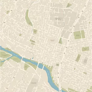
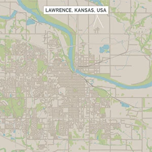
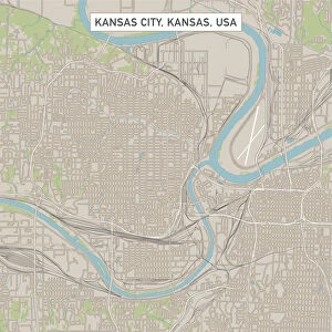
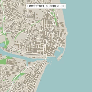
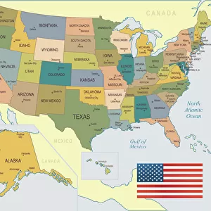
Austin Texas US City Street Map

![]()
Wall Art and Photo Gifts from Fine Art Storehouse
Austin Texas US City Street Map
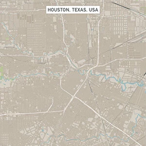
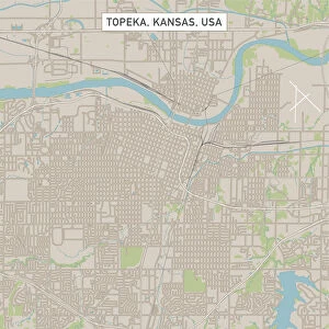
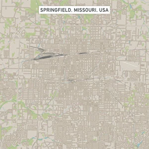
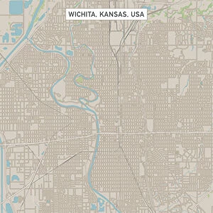
Vector Illustration of a City Street Map of Austin, Texas, USA. Scale 1:60, 000.
All source data is in the public domain.
U.S. Geological Survey, US Topo
Used Layers:
USGS The National Map: National Hydrography Dataset (NHD)
USGS The National Map: National Transportation Dataset (NTD)
Unleash your creativity and transform your space into a visual masterpiece!
Frank Ramspott
Media ID 15192976
© Frank Ramspott, all rights reserved
Aerial View City Map Computer Graphic Directly Above Downtown District Gray Road Map Texas Text Austin Digitally Generated Image Green Color White Color
FEATURES IN THESE COLLECTIONS
> Aerial Photography
> Related Images
> Animals
> Insects
> Hemiptera
> Green Scale
> Arts
> Contemporary art
> Digital artwork
> Street art
> Arts
> Landscape paintings
> Waterfall and river artworks
> River artworks
> Arts
> Portraits
> Pop art gallery
> Street art portraits
> Arts
> Street art graffiti
> Digital art
> Digital paintings
> Arts
> Street art graffiti
> Digital art
> Vector illustrations
> Fine Art Storehouse
> Map
> Street Maps
> Fine Art Storehouse
> Map
> USA Maps
> Maps and Charts
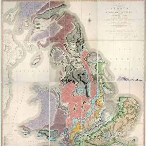
> Geological Map
> Maps and Charts
> Related Images
> North America
> United States of America
> Lakes
> Related Images
EDITORS COMMENTS
This print showcases the intricate details of Austin, Texas, a vibrant city known for its rich culture and stunning landscapes. The vector illustration captures the essence of this bustling metropolis with its precise depiction of the city street map. With a scale of 1:60,000, every nook and cranny is meticulously portrayed. The source data used in creating this masterpiece is in the public domain, courtesy of U. S. Geological Survey's National Hydrography Dataset (NHD) and National Transportation Dataset (NTD). These layers provide an accurate representation of Austin's hydrography and transportation networks. From downtown district to serene lakeside views, this visually striking image encompasses all that makes Austin unique. The meandering river adds a touch of tranquility amidst the urban landscape while streets intertwine like veins pulsating through the heart of the city. Rendered in vivid colors including shades of gray, blue, white, and green; this digitally generated artwork offers an aerial view directly above Austin. Absent are human figures but present is an abundance of text labeling key landmarks and roads. Designed by Frank Ramspott exclusively for Fine Art Storehouse, this piece merges cartography with modern design elements to create a visually stunning representation of one America's most beloved cities - Austin!
MADE IN THE USA
Safe Shipping with 30 Day Money Back Guarantee
FREE PERSONALISATION*
We are proud to offer a range of customisation features including Personalised Captions, Color Filters and Picture Zoom Tools
SECURE PAYMENTS
We happily accept a wide range of payment options so you can pay for the things you need in the way that is most convenient for you
* Options may vary by product and licensing agreement. Zoomed Pictures can be adjusted in the Cart.